I had the opportunity to hike Pagan Point and Caughey-Taylor Nature Preserves on a recent trip to St. Andrews, New Brunswick. Both locations are beautiful with a mix of Wabanaki-Acadian forest, salt marsh, and ocean vistas.
Here’s a little more about the trails and their surrounding ecosystems. I hope this post inspires you to explore the area and teaches you a little about its history.
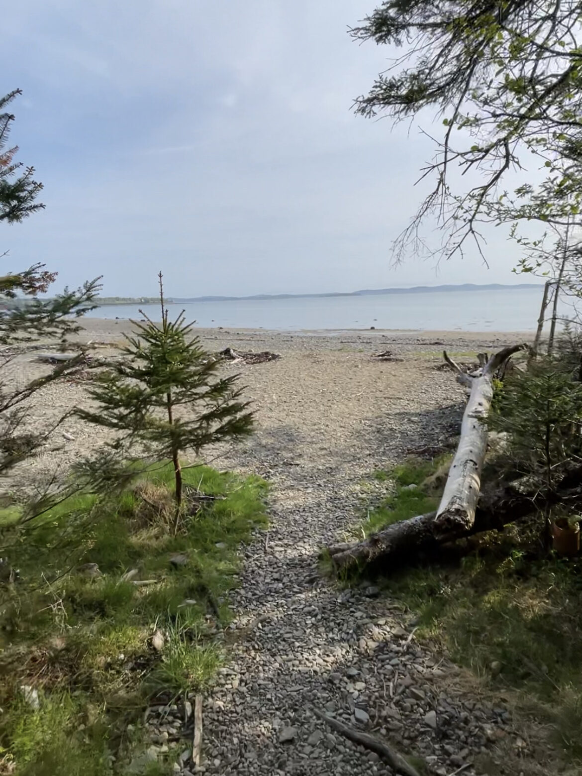

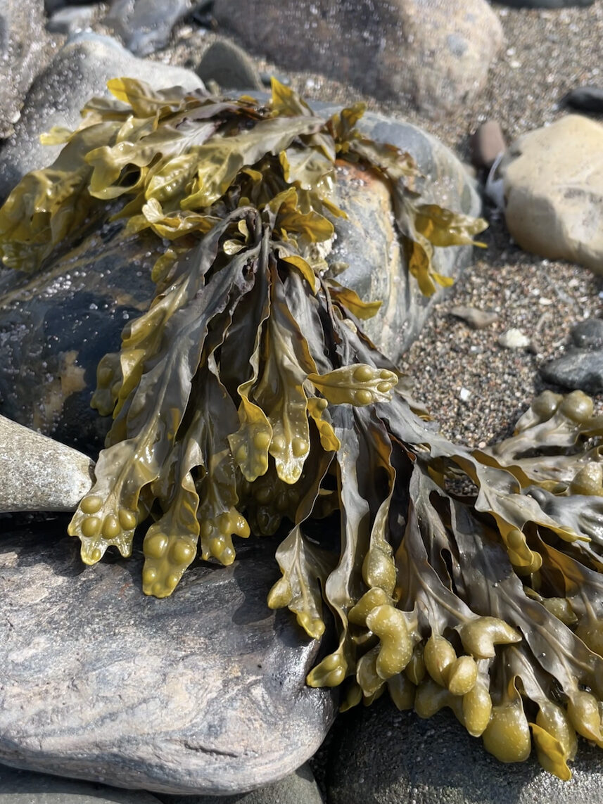

Pagan Point Nature Preserve
Located in the charming town of St. Andrews, Pagan Point Nature Preserve is a small, 30-acre sanctuary managed by Nature Trust New Brunswick. It’s the perfect place for a picnic, cool dip in the Atlantic Ocean, or short hike.
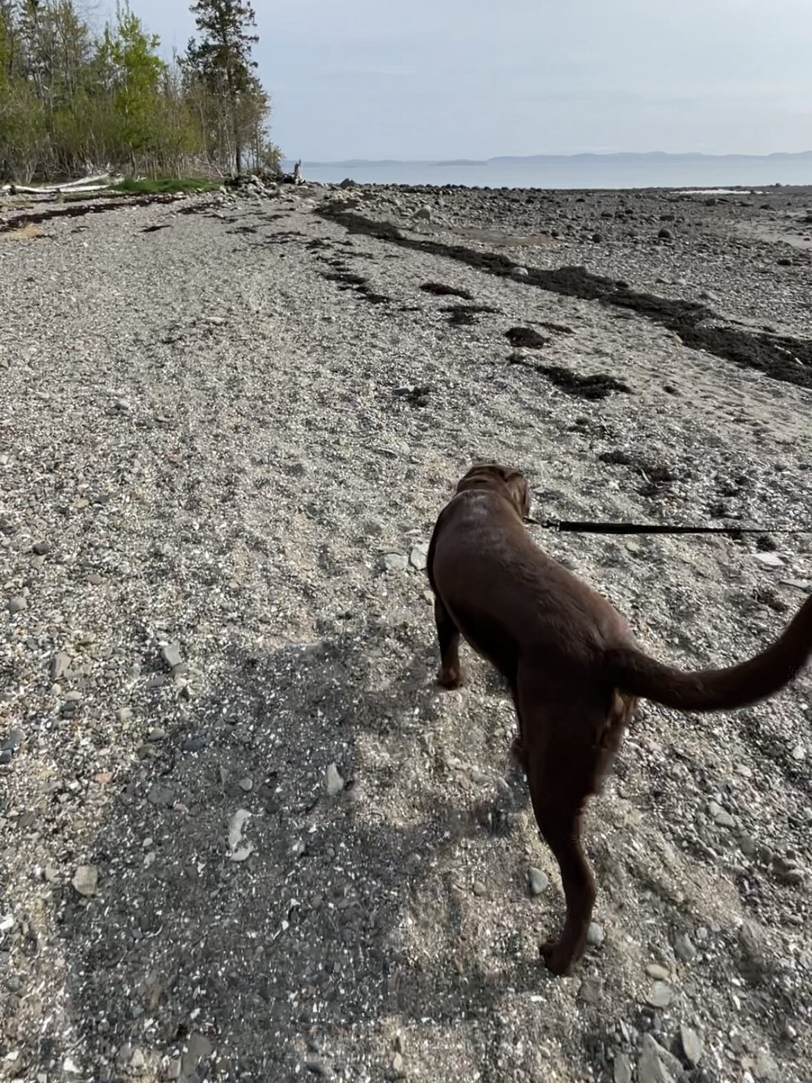
The beach at Pagan Point is rocky with pockets of sandy areas that become more prominent during low tide. When I visited, the Wharf to Wharf Run was happening and participants were running along the shore on their way back from Minister’s Island. If you’re a runner, check it out! It happens each May and it’s a unique experience that has you running on the bottom of the ocean at low tide.
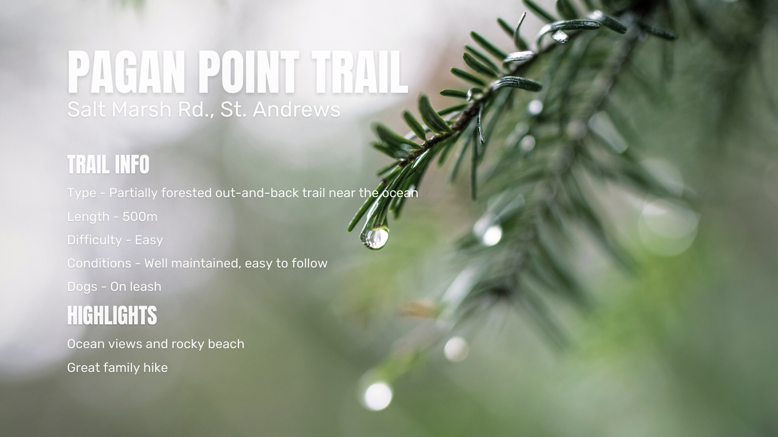
Pagan Point Trail
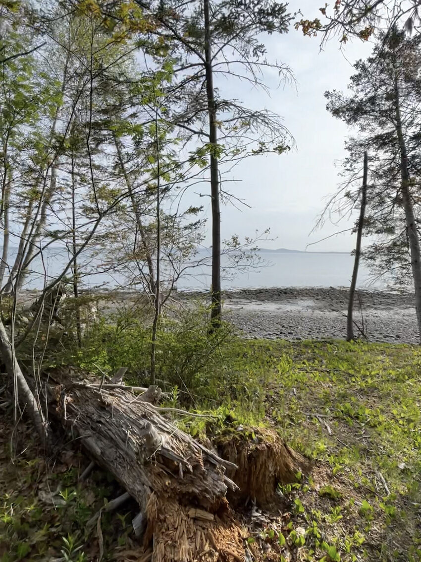
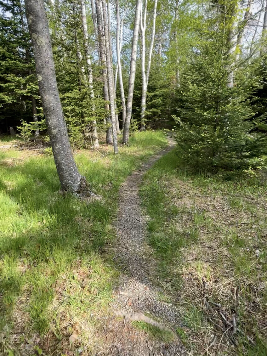
Pagan Point Trail is a short, 500m, in-and-out hike. The trail weaves through a forested area that opens up to the beach in several places.
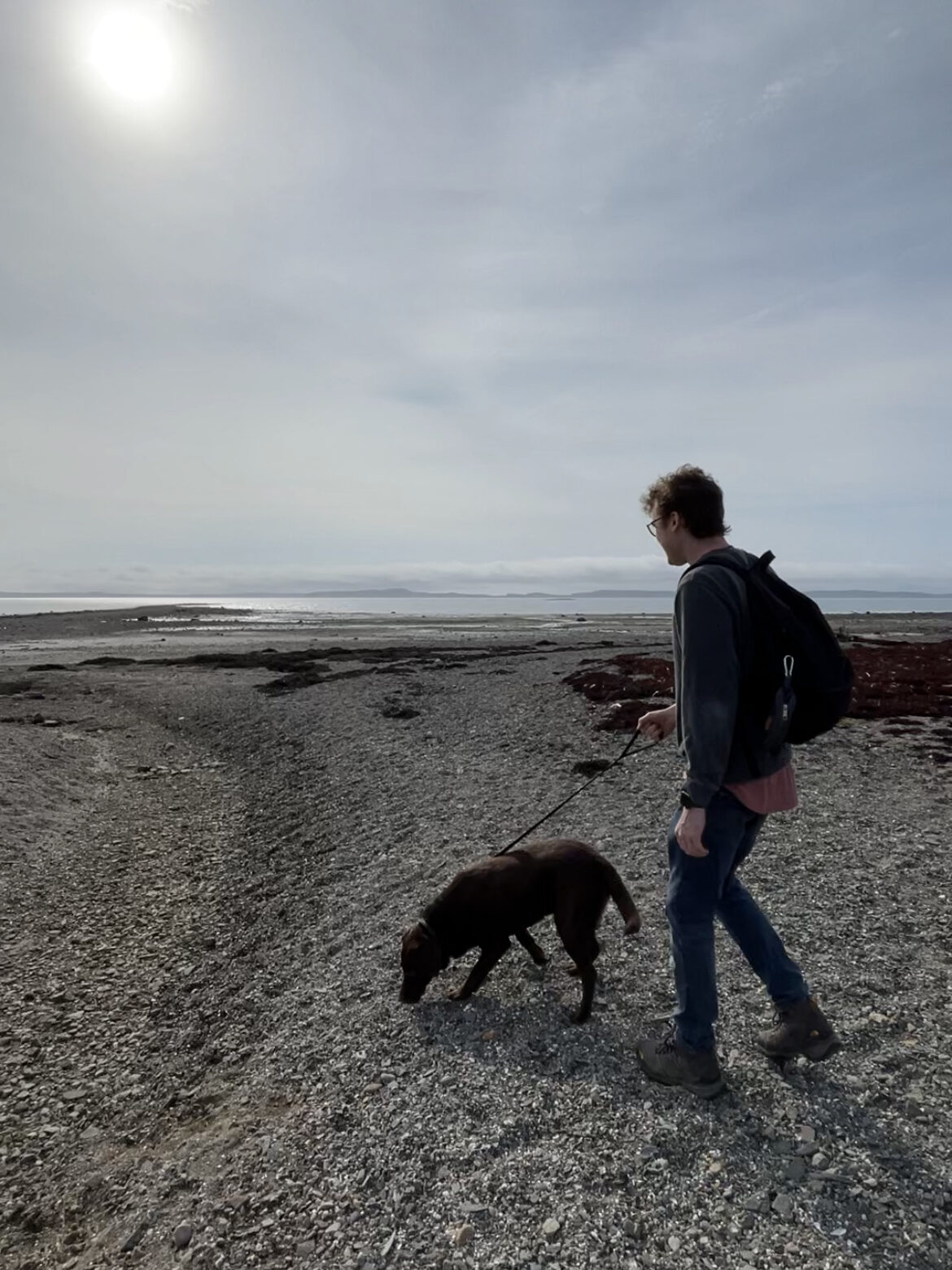
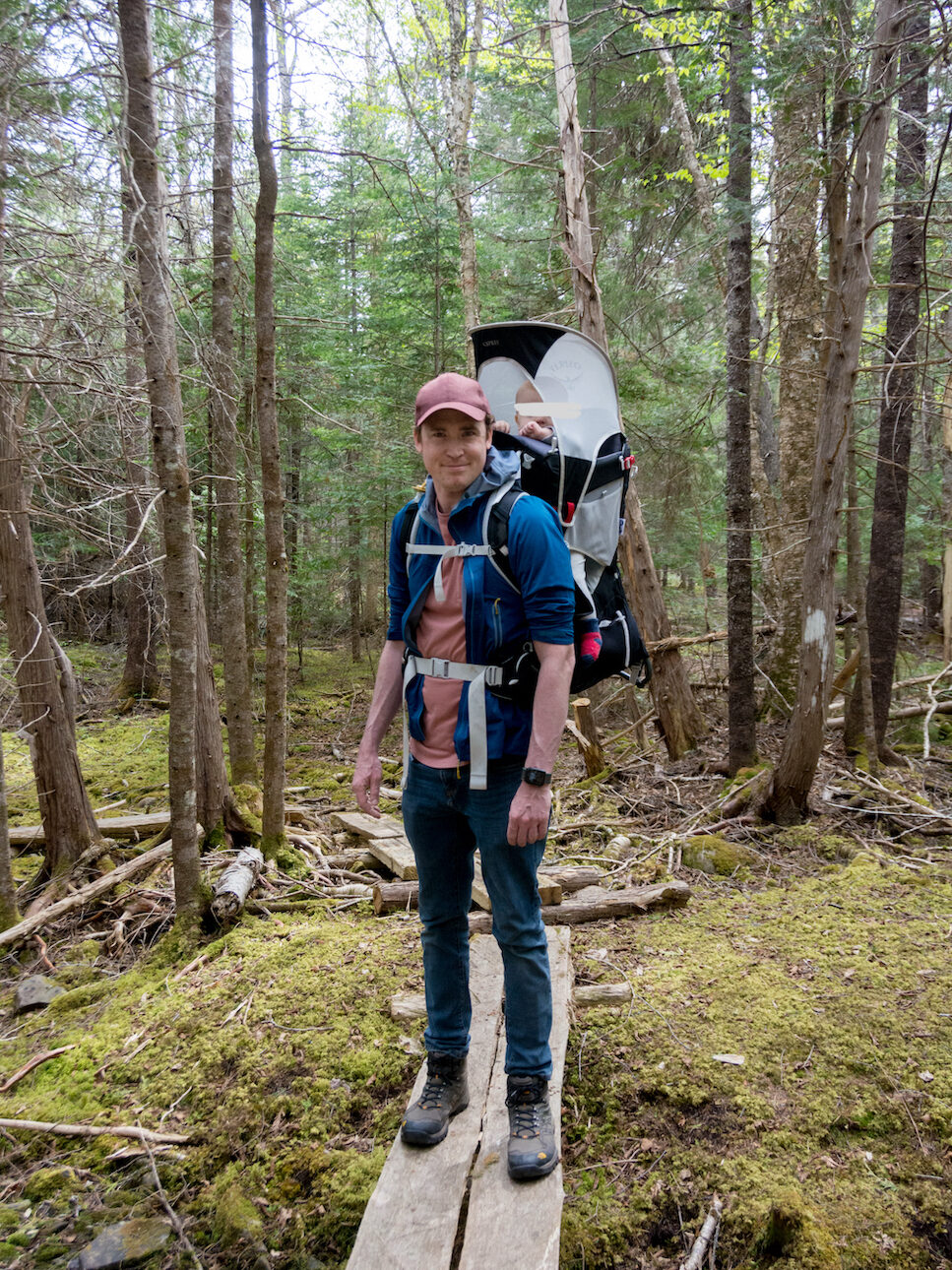
I visited the trail with my fiancé, our infant daughter, and Labrador retriever. When we first arrived, we spent some time on the beach breathing in the salty air. It was so refreshing.
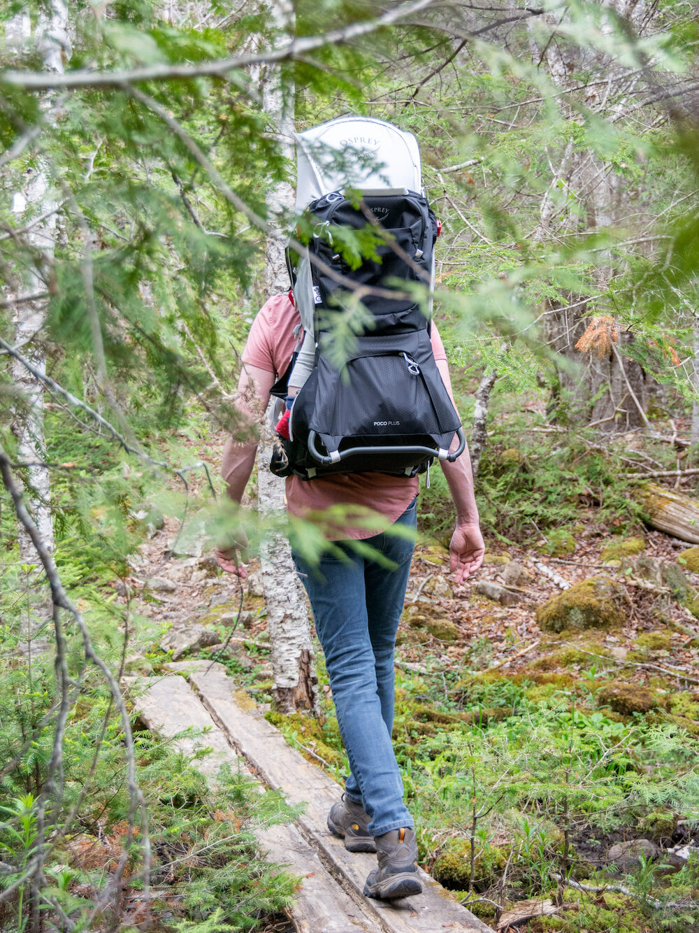
Pagan Point Trail is the perfect quick hike for families with small kids. Young kids will have no problem hiking it and there’s lots to explore on the beach. That said, if your child can’t walk yet, you’ll need a baby carrier. A stroller won’t get through the narrow trail and pushing one through the sand would be a nightmare.
We made the trail into a loop by walking along the shoreline on the way back. It was nice to amble along stopping intermittently to feel the icy water and gentle waves.
If you want to extend your hike, Pagan Point Trail connects to the Van Horne Trail. This paved pathway follows the old railroad track from Langmaid Park to the causeway by Katy’s Cove and ends at the crossing for Ministers Island. If you want to cross to Ministers Island, you have to do so at low tide. You can find a tide chart here.


Passamaquoddy Bay
Pagan Point Trail looks out at Passamaquoddy Bay, an inlet in the Bay of Fundy between Maine and New Brunswick. Passamaquoddy Bay experiences some of the highest tides in the world due to its connection to the Bay of Fundy. The tides in the bay can rise and fall by as much as 28 feet twice per day!
The bay’s nutrient-rich waters support a diverse range of marine life. The bay is feeding ground for various marine mammals, like seals and whales. Peak season for whale watching is July to September. Minke, finback, and humpback whales are regular visitors to the bay. Sometimes, the endangered right whale can be seen.
The bay’s name is derived from the Passamaquoddy people, whose ancestral lands span the region. The Passamaquoddy have used the bay as a significant fishing area for centuries.
Pagan Point Shell Midden
Pagan Point Nature Preserve is home to a significant shell midden. In archaeology, a shell midden is a mound or deposit of discarded shells and other debris left by past human populations. The midden at Pagan Point is over a metre deep, it’s an accumulation of two millennia worth of history! In 1975, a test dig revealed shells, animal bones, pendants, draw knifes, and a semi-subterranean winter dwelling.1
The Pagan Point midden is a tangible link to the ancestral heritage and presence the Passamaquoddy people and their long-standing relationships with the land and sea.
Caughey-Taylor Nature Preserve
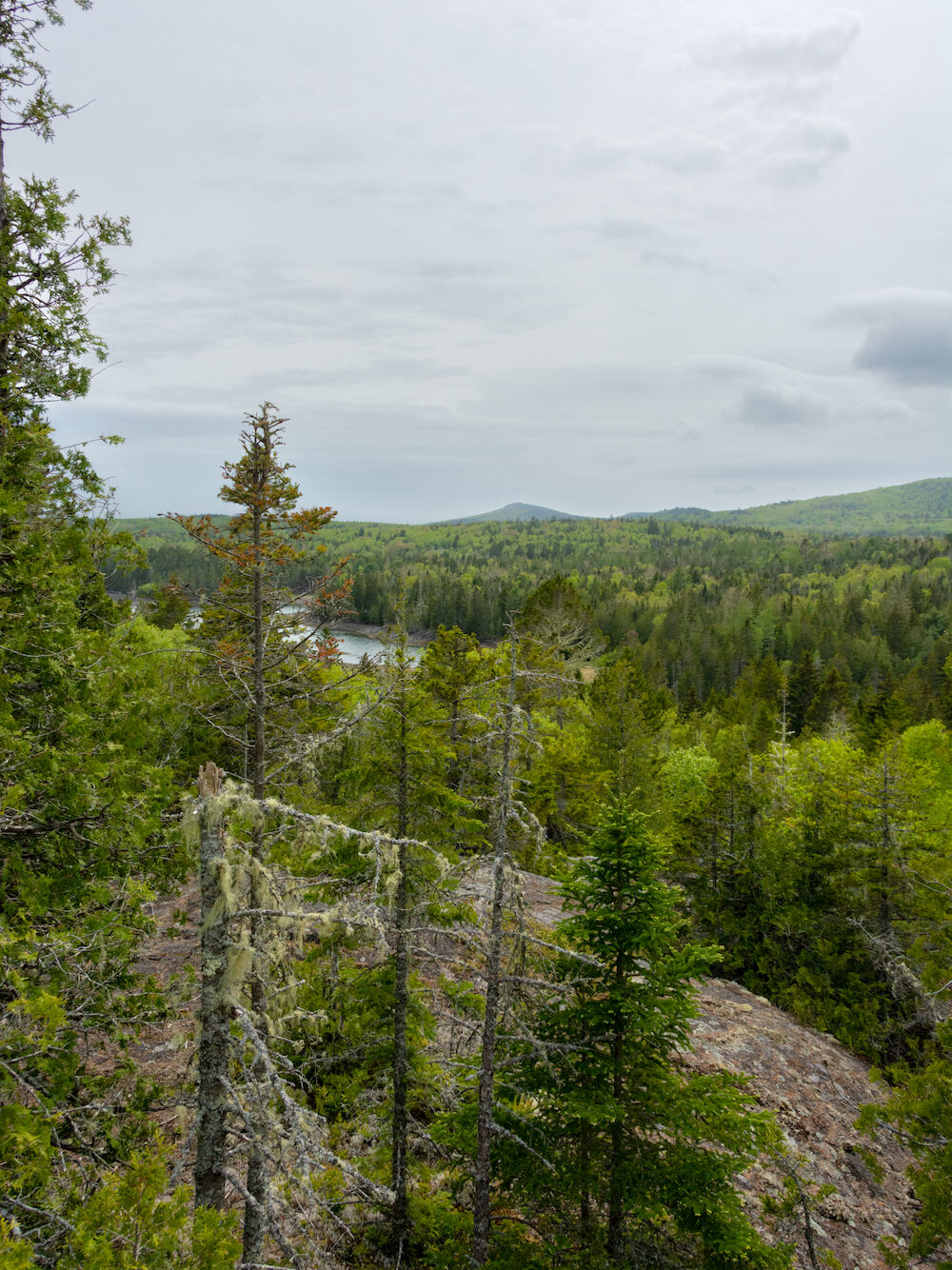
Just outside of St. Andrews, in Bocabec, is Caughey-Taylor Nature Preserve. Also managed by Nature Trust New Brunswick, this sprawling preserve spans 240 hectares. While both Pagan Point and Caughey-Taylor were amazing, Caughey-Taylor stole my heart. The hike here was longer, more challenging (in a fun way!), and the lookout at the escarpment was stunning.
We happened to visit the preserve at high tide. Unfortunately, it meant we couldn’t complete the loop around Sam Orr Pond. Instead, we doubled back at the escarpment. I can’t speak from experience about the trail after that, but I’m eager to return and explore the area. I’ll update this post when that happens.

The Trails
There are three trails to explore at Caughey-Taylor: Sam Orr Pond, Taggarts Brook, and Chickahominy Mountain Trail. All together, they make up 9.6 kilometres and span woodland, salt marsh, a brackish pond, and coastal cove. You can find a map here.
Sam Orr Pond Trail
Sam Orr Pond Trail offers two options for hikers: a loop around the pond or an out-and-back route leading to Berry Point. If you opt for the loop (you can always double back), it’s best to plan your hike during low tide. The brackish pond is protected by a sill that can only be crossed during low tide – unless you want to get wet!
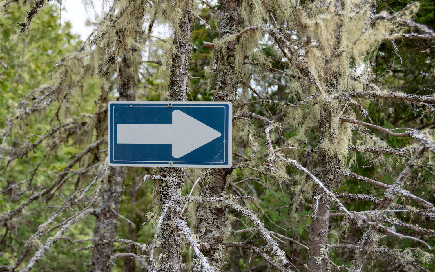
The trail is well-marked. Along the way, you’ll have to cross some makeshift bridges and scramble up some rocks to reach the escarpment lookout. While not overly challenging (we hiked it with a baby), it’s important to be cautious. There are plenty of roots and rocks, so sturdy footwear will save you from rolling your ankle. I also recommend hiking poles for extra stability. They would be especially helpful in wet conditions as the rocks and bridges get slippery.
Note that, you have to cross the road at the parking lot to reach the trailhead for Sam Orr Pond.

Taggarts Brook and Chickahominy Mountain
Taggarts Brook and Chickahominy Mountain Trails are accessible from the parking lot. Parts of the trail are steep with rocky edges. AllTrails users describe the trails as challenging and difficult to follow.
Sam Orr Pond
Sam Orr Pond is a tidal pond in Birch Cove. Tidal ponds, also known as saltwater ponds or brackish ponds, are shallow bodies of water that are influenced by the tides. They form within or adjacent to salt marshes and their water levels rise and fall as the tide ebbs and flows.
These ponds play an important ecological role and provide habitat for various species of plants and animals. They act as nurseries for many fish, crustaceans, and other aquatic organisms. The sheltered and nutrient-rich waters of tidal ponds provide a safe haven for the early life stages of these species, allowing them to grow and develop before venturing out into the open ocean.
Sam Orr Pond is protected from the waters of Birch Cove by an outer and inner sill. At high tide, the pond is flushed with salt water which mixes with fresh water from Taggarts Brook. The result is a unique ecosystem with diverse flora and fauna. It is home to quahogs, clams, periwinkles, sticklebacks, elvers, mummichog, mussels, silversides, and Atlantic tomcod. You’ll also find salt tolerant plants like eelgrass and widgeongrass.
Archaeological evidence suggests Sam Orr Pond was, for centuries, an important fishing ground for Passamaquoddy fishers. The pond itself forms a natural fish trap that would be useful for catching Atlantic tomcod. Rock placements suggests Passamaquoddy fishers modified the pond to enhance its efficiency as a fish trap.2


Supporting Nature Preserves
I’m happy that I was able to visit these beautiful preserves with my family and learn more about their history and ecology.
If you want to support Nature Trust New Brunswick’s work, consider volunteering to help monitor and maintain their nature preserves. Volunteers assist with trail maintenance, clean-up efforts, trail signage, species monitoring, and photography/videography. Visit their volunteer page for more information. They also accept financial donations.
More New Brunswick Adventures to Check Out:
Top Outdoor Activities in Fredericton, New Brunswick
Third Vault Falls, Fundy National Park
Backcountry Camping in Kouchibouguac National Park
Camping at Tracey Lake in Fundy National Park
Hiking to Hays Falls on the Maliseet Trail
Citations
1 “Pagan Point.” Parks Canada Agency – Canadian Register of Historic Places.
2 W. Jesse Webb. 2018. “A Late Maritime Woodland Peskotomuhkati Fishery From the Mainland Quoddy Region, Southwestern New Brunswick, Canada.”
“Pagan Point Nature Preserve.” Nature Trust New Brunswick.
“Caughey-Taylor Nature Preserve.” Nature Trust NB.